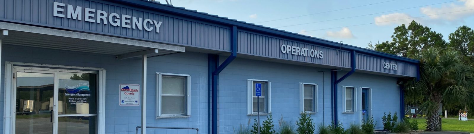
Click the Button for the Latest Alert Franklin Message

Current Activation Level : Level 3 – Normal Operations

Emergency Alerts

Alert Franklin is a mass notification system. This system allows Franklin County Emergency Management and the National Weather Service to send emergency messages to your phone, email or both. These include but are not limited to, watches and warning, weather advisories, and evacuation orders. For more information or to subscribe, click the read more button below.

Read More

CERT

Our Community Emergency Response Team is always looking for individuals who are willing to volunteer and assist our community in times of crisis. Franklin County Emergency Management uses volunteers for events, activations, and emergency operations. Our community members have a wealth of experience and training. We needs members like you.

Read More

Special Needs Sheltering

Special needs shelters are intended to provide, to an extent, an environment that can sustain an individual's level of health. If a person is medically stable but needs help with basic tasks or uses an electronic medical device and has no other evacuation options, they should pre-register for a special needs shelter.

Read More

Need Help During an Evacuation?

If you are resident of Franklin County and you currently do not have transportation, you may register for transportation assistance in the event of a storm. During a hurricane that requires a mandatory evacuation of the county, Franklin County Emergency Management will provide transportation for residents to get to a shelter.

Read More


 Our Mission:

Franklin County Emergency Management’s Mission is to minimize loss of life, personal injury, damage to property, or theenvironment caused by natural, technological, and human-caused disastersaffecting Franklin County.


What is Emergency Management?

Emergency Management involves plans, structures and arrangements established to engage the normal endeavors of government, voluntary, and private agencies in a comprehensive and coordinated way to respond to the whole spectrum of emergency needs.


Click Here to View Our Multi-Year Report


Come See What We Have Been Up to on Facebook

Cover for Franklin County Florida Emergency Management
11,584
Franklin County Florida Emergency Management

Franklin County Florida Emergency Management

For information during a natural or man-made diaster call our office at 850-653-8977.

Comments Box SVG iconsUsed for the like, share, comment, and reaction icons

As of 2PM EDT August 18, 2025, the Tropical Weather Outlook produced by the National Hurricane Center highlights two systems: 1) Major Hurricane Erin near the SE Bahamas; 2) Tropical Wave moving westward across the Eastern Atlantic. 🌀🔮

Erin remains a NON-threat for the Tri-State area as the forecast track takes it northward, well east of Florida & Georgia. 🙅‍♂️

The tropical wave farther east has a medium or 60% chance of development over the next 7 days somewhere near the Lesser Antilles. 🟠

It is far too early to determine the evolution of this wave and what it could mean for us, locally. Regardless, regularly monitor the forecasts for continued updates, and use this time to review your hurricane plans. 📝
... See MoreSee Less

Photos from US National Weather Service Tallahassee Florida's post ... See MoreSee Less

Update on the tropics from the National Hurricane Center in Miami, FL (August 14, 2025) ... See MoreSee Less

3:40pm ET Radar Update

Showers and storms are forming along and north of a stalled boundary and the seabreeze (blue) that's along the Gulf coast. These storms haven't moved much and localized flooding could develop in the white region over the next hour or two given that storms are training over the same locations. If you come across flooding #TurnAroundDontDrown. Some locations have received 2 to 3 inches of rain over the last hour and another 2 to 3 inches can't be ruled out given the slow moving nature of this line.

#flwx
... See MoreSee Less

... See MoreSee Less

ℹ️ August 12, 2025
🌀 Tropical Storm Erin is forecast to move westward over the open Atlantic this week.
⏳ Too early to determine what, if any, impacts to the Tri-State region.
👀 As the Hurricane Season peak approaches, ensure you’re prepared for any threats.
#FLwx #ALwx #GAwx
... See MoreSee Less

The John Gorrie Bridge is now open. Use caution when traveling through the area. ... See MoreSee Less

Photos from US National Weather Service Tallahassee Florida's post ... See MoreSee Less

The John Gorrie Bridge is currently closed due to an accident. Please avoid this area if at all possible to allow first responders to safely work.

Thank You
... See MoreSee Less

Load More